The San Gabriel Mountains are a mountain range in the northern part of Los Angeles County and the western part of San Bernardino County in California. Let’s delve into the history and distinctive features of the San Gabriel Mountains. More details on los-angeles.name.
The Name
When viewing amazing photographs or personally enjoying the beauty of the San Gabriel Mountains, have you ever wondered about the origin of their name? It was borrowed from a nearby Spanish mission, but for decades, the mountains were also referred to as the “Mother Mountains” (the original name, Sierra Madre). These names were bestowed by early Spanish missionaries and co-existed until 1927. That year, the U.S. Board on Geographic Names granted a petition by a Pomona geographer, and the decision was made. The name “Sierra Madre” gradually fell out of general use (except for the city of Sierra Madre, a Gold Line station, and a few other places).

The Peaks
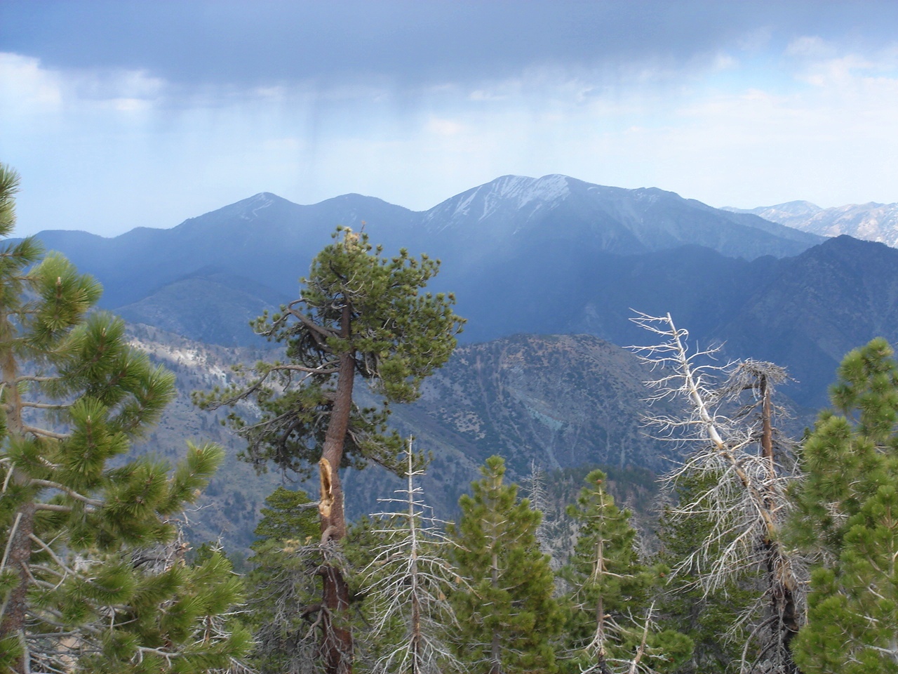
Mount San Antonio is the highest summit of the range, also known as Mount Baldy or Old Baldy. This peak, with an elevation of 10,064 feet (3,068 m), sits on the border of Los Angeles and San Bernardino Counties in California. The peaks of Mount San Antonio are often snow-capped, making them easily visible from a distance. They dominate the horizon of the Los Angeles Basin.
Another high point is Mount Wilson, located atop the San Gabriel Mountains. Its elevation reaches 5,710 feet, but that’s not its only remarkable feature. In the early 20th century, the famous Mount Wilson astronomical observatory was established here, along with an antenna farm housing many transmitters for local media. The Mount Wilson Observatory is open to the public and contains two significant telescopes: the 100-inch (2.5 m) Hooker Telescope and the 60-inch telescope. It also houses the Snow Solar Telescope. Because the air on Mount Wilson is more stable, it is an ideal location for astronomy and interferometry (an important research method using electromagnetic waves).
Incredible Mountain Scenery
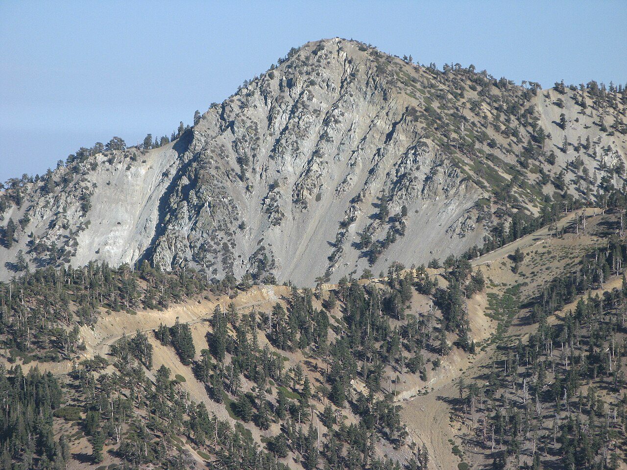
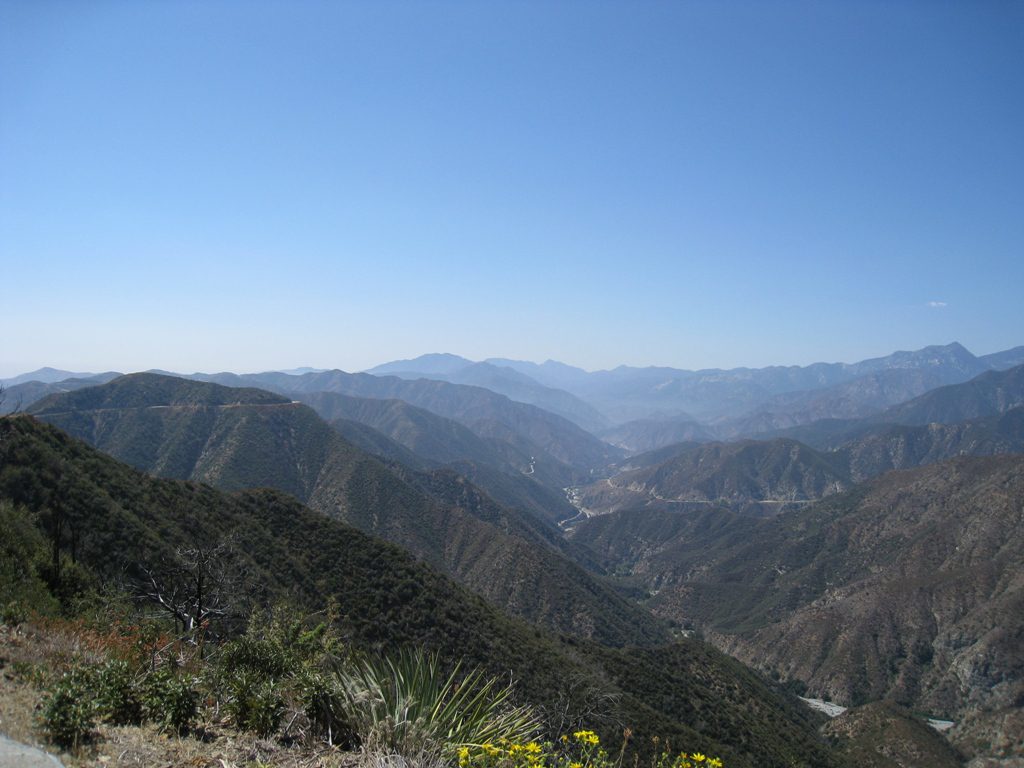
The range stretches from Cajon Pass in the east to Newhall in the west. In some sources, you might find them described as a topographical anomaly. Interestingly, the greater part of the Los Angeles metropolis is actually situated atop sediments washed down from the slopes of the San Gabriel Mountains. This fact certainly gives one pause.
The San Gabriel Mountains trap cool, moist air from the Pacific Ocean. They also shield Southern California from scorching inland climates. For travelers and traders, the steep mountain slopes pose dangers. Moreover, they pose a threat to the existence of entire foothill communities.
Despite these threats, the San Gabriel Mountains offer significant advantages. They are a critical provider of valuable resources and recreational opportunities for Southern California.
The San Gabriel Mountains have been valued for millennia. They are a wonderful place of solitude. While for modern city dwellers they offer a chance to relax, connect with nature, and escape the city, in the mid-nineteenth century, outlaws sought refuge here. A well-known example is the infamous Southern California bandit, Tiburcio Vasquez. He successfully evaded authorities for years in Chilao and Vasquez Rocks in Agua Dulce.
Later, homesteaders began building private hideaways among the canyons. Examples include the sons of abolitionist John Brown, Jason and Owen. They no longer wanted to live in the city, so they fled to the mountains, settling in El Prieto Canyon, in the foothills above Pasadena. Owen Brown’s grave is located in the mountains and serves as a pilgrimage site for those interested in American history.
The same allure draws modern residents, tourists, skiers, and mountain bikers—everyone who seeks to experience the spirit of the San Gabriel Mountains.
In the 1930s, the Angeles Crest Highway, a scenic road stretching 66 miles, was constructed through the San Gabriel Mountains. This decision presented a real engineering challenge, yet it provided access to previously remote regions. The highway is the highest in Southern California, with its summit reaching 7,903 feet.
A National Monument
The San Gabriel Mountains are a picturesque natural site that fulfills several vital functions for Southern California:
- A critically important water source for the Los Angeles Basin;
- A natural barrier that influences the region’s climate;
- A center of biodiversity, home to many rare and endangered plant and animal species (such as the California Condor);
- An outdoor recreation hub. Locals and tourists love the San Gabriel Mountains for opportunities for hiking, camping, and mountain biking.
On October 10, 2014, due to their ecological, historical, and recreational value, the San Gabriel Mountains were designated a National Monument, managed by the U.S. Forest Service (covering parts of the Angeles National Forest and the San Bernardino National Forest in California). This decision was made by Barack Obama, using his executive authority.
It is also worth noting that the history of protecting the San Gabriel Mountains began over a century ago, in 1891, during the term of the 23rd U.S. President, Benjamin Harrison. The National Monument has its headquarters located in Glendora, a city in the San Gabriel Valley in Los Angeles County (26 miles from Los Angeles).